Part of Chapter 7 Flirting with the Atacama
Post #48
Día 56 Calamity
San Pedro de Atacama to Calama (GPX 101km, 1,250m climbing)
One of only two landlocked countries on the South American continent, Bolivia is home to varying landscapes and topography. There are three main sections: the altiplano, the valleys, and the tropical lowlands. We’re coming at it from the west where the majority of the land sits high on a plateau between four and five thousand metres. The pass we’ll cross to enter this world of extremities is at shiver inducing 3,960m. Down in San Pedro, the only way is up.
We set off late after I make some urgent calls home. It’s 11am before we hit the road, much to Jake’s low key frustration (the man doesn’t get properly angry, but in this case his desire to move is understandable).
“We better get going, we’ve got 1000m of elevation to do today, mate.”
“Shit I didn’t realise it was that much, sorry bruvva. I did say go on ahead, I’ll catch you up.”
He’s a kind soul and said no to this idea; he wanted to ensure I was ready to continue. Plus, company when desert crossing is always preferable.
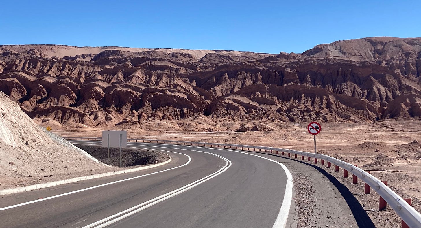
There’s a kicker out of San Pedro. It hugs one of those jagged stone formations so typical of the Atacama region. Initially the descent on the other side is free flowing and pacy, but then follows a curious phenomenon. One we’ve experienced time and again. I can’t tell if we’re travelling up or downhill. The road stretches to a horizon so far away that it’s difficult to ascertain the gradient. Often I only clock that I’m going up when I look down and see my legs pushing furiously to maintain forward movement. I slow them, and the bike stops instantly, the standard test to end confusion.
I catch up with Jake after 90 minutes apart and he insists the visible summit is the final one of this climb. I’m having none of it, I’m sure there’s more layers to this particular hill game. The optimist vs pessimist battle plays out once more.
A single vicuña gazes down from a rocky outcrop high above. He probably knows the answer but I don’t think he’ll tell us.
Six enormous lorries are the most unusual sight of the day (bar the landscape of Martian science fiction). They come with a pickup escort and block both lanes, limiting all traffic behind to a measly 20km/h. They rumble past as I lean on stories of Oppenheimer’s youth on the Rest is History to get me through this taxing desert. I gaze around. The Atacama seems like the perfect place to detonate a nuclear bomb.
In fact the region does have a history of war. In 1879, Chile and Bolivia (with the support of Perú) came to blows over their territorial limits. The area is rich in minerals and therefore a land to be exploited for financial gain. They fought over salt, a commodity that had achieved such grand importance by the late 19th century that it was referred to as ‘White gold’. The war had permanent and damaging consequences for plucky Bolivia. Prior to the war it had unofficial access to the coastline, afterwards it was condemned to be landlocked forever. To our great amusement, it still has a functioning navy. More on that in the next chapter.
The map below shows the fronteras before and after the conflict.
The road to Calama, a town we’ve been told to avoid like the plague is a sixty kilometer straight line with no deviation. This dust trap once went without rain between 1570 and 1971. Yes, you read that right, it didn’t rain for 401 years. Perhaps the English complain too much about a 72-hour heatwave. As we near the edge of the urban zone, a forest of turbines split the sunset; an array of hues like a melting rainbow sorbet.
Keep reading with a 7-day free trial
Subscribe to 10,000km Arriba en Latinoamérica to keep reading this post and get 7 days of free access to the full post archives.


